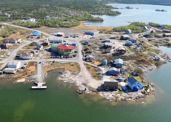
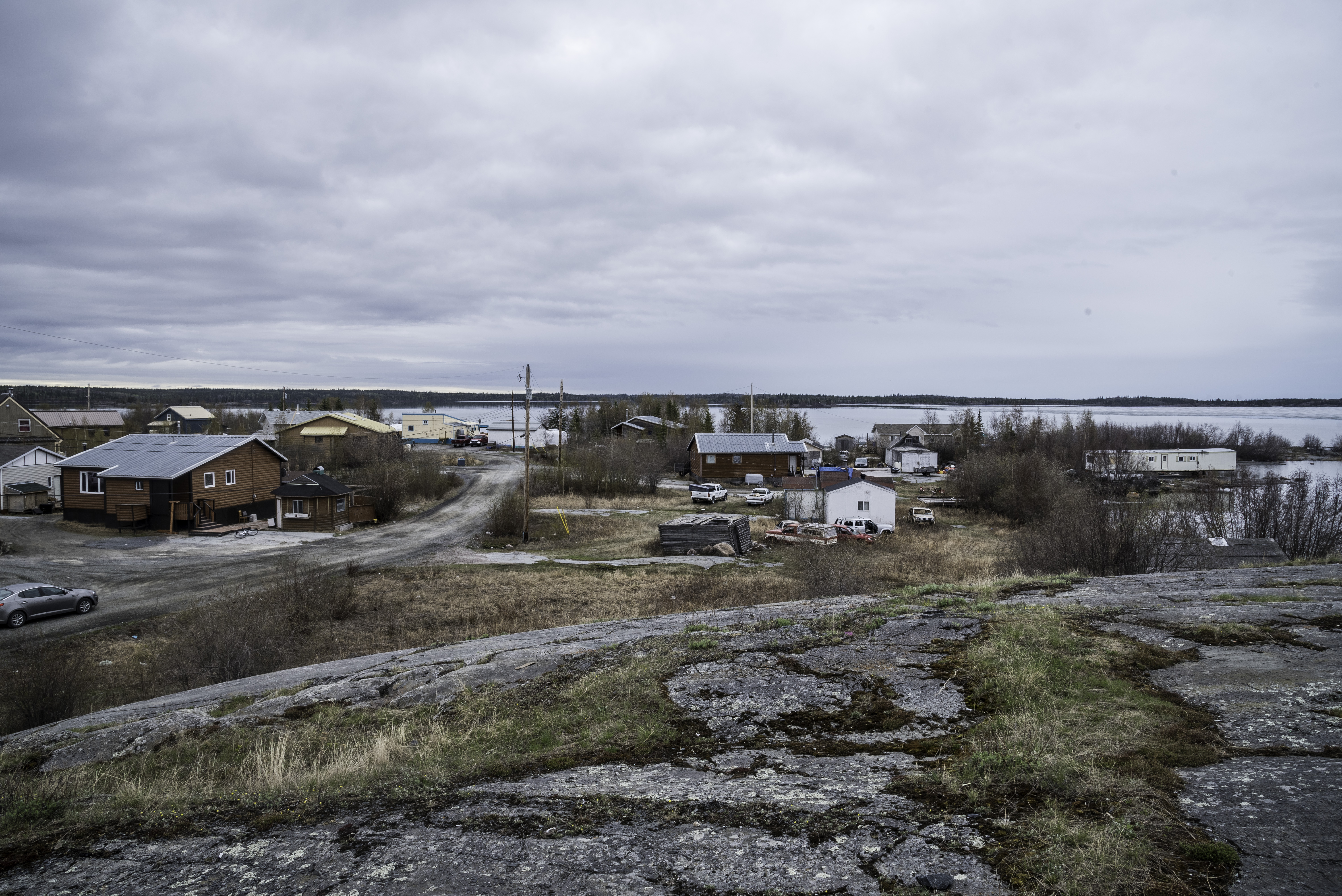
Dettah, sometimes spelled incorrectly as Detah, is a First Nations community in the North Slave Region of the Northwest Territories, Canada. Located just southeast of the capital of Yellowknife, it is a 6.5 km (4.0 mi) drive from that city by ice road across the north arm of Great Slave Lake in winter or a 27 km (17 mi) drive via the Ingraham Trail, year-round. The name T'é?ehdaá means 'Burnt Point' in the Wíílíídeh dialect and was simplified to Dettah when non-indigenous people could not pronounce it. The place was a common fishing spot for the Tetsǫ́tʼine (Yellowknives) people and is home to nearly 200 indigenous people.
Demographics
In the 2021 Canadian census conducted by Statistics Canada, Dettah recorded a population of 192 living in 79 of its 85 total private dwellings, a change of -12.3% from its 2016 population of 219. With a land area of 1.12 km2 (0.43 sq mi), it had a population density of 171.4/km2 in 2021.
Both it and Ndilǫ are the communities of the Yellowknives. Dettah is represented by the Yellowknives Dene First Nation (Dettah) and are part of the Akaitcho Territory Government.
Gallery
Climate
Dettah has a subarctic climate (Dfc) with long, severely cold winters and short but mild, sometimes warm summers. Dettah and Yellowknife experience the sunniest springs and summers out of all of Canada's cities.
Weather records are from Yellowknife Airport, approximately 9 km (5.6 mi) northwest of Dettah.
References
Further reading
- Northwest Territories, and BHP Billiton Diamonds Inc. Communities and Diamonds Socio-Economic Impacts in the Communities of Behchoko, Gameti, Whati, Wekweeti, Detah, Ndilo, Lutsel Kʼe, and Yellowknife: 2005 Annual Report of the Government of the Northwest Territories Under the BHP Billiton, Diavik and De Beers Socio-Economic Agreements. [Yellowknife]: Govt. of the Northwest Territories, 2006.
External links
Media related to Dettah at Wikimedia Commons